
You can reach Whitby, St Ives, Falmouth, Weymouth, Tenby, Oban and Mallaig by National Rail, with a station in the town itself. They are spread from the English Channel to the Sound of Sleat, and between them they cover most of what people want from a harbour break: boats, an easy walk from the train, and something to look at while the tide does its work.
We have stuck to facts we could check against the station pages and line histories. We have not quoted fares or journey times, as both change. Look up your own date on National Rail before you book, and pay special attention to Sundays and winter timetables on the rural lines.
| Town | Line | Line runs from | Step-free |
|---|---|---|---|
| Whitby | Esk Valley | Middlesbrough | A |
| St Ives | St Ives Bay Line | St Erth | A |
| Falmouth | Maritime Line | Truro | B2 |
| Weymouth | South West Main Line | London Waterloo | B1 |
| Tenby | West Wales lines | Swansea, splitting at Whitland | B2 |
| Oban | West Highland | Glasgow Queen Street | A |
| Mallaig | West Highland | Glasgow Queen Street | A |
In National Rail's scheme, category A means step-free access to all platforms. B1 means all platforms can be reached step-free, though perhaps by long or steep ramps or via streets. B2 means there is some step-free access. Passenger assistance details are on each station page.
Whitby North Yorkshire
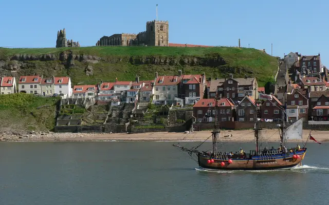
The Esk Valley Railway runs from Middlesbrough through the North York Moors National Park, serving 17 stations before it reaches the coast. Whitby is a port as well as a resort. The River Esk runs through the town beneath a swing bridge, and the harbour is sheltered by two grade II listed piers. It is one to save for a clear day, as the line itself is much of the pleasure.

St Ives Cornwall
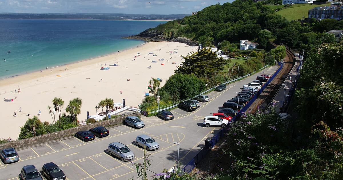
The St Ives Bay Line leaves the Cornish main line at St Erth and covers about 4.25 miles of single track. It opened in 1877 and has five stations. Smeaton's Pier was rebuilt by the engineer John Smeaton between 1766 and 1770. Boats sit on the sand at low water, so the harbour looks quite different at different hours. Tate St Ives is in the town. If you are driving part of the way, Lelant Saltings was built as a park and ride for St Ives.
Falmouth Cornwall
The Maritime Line runs for about 11.75 miles from Truro to the end of the line at Falmouth Docks, and opened in 1863. The town developed as a port on the Carrick Roads, and Henry VIII built Pendennis Castle in 1540 to defend that water. There are two stops to choose from. Falmouth Town is the one listed above, while Falmouth Docks, the original terminus, is close to the castle and Castle Beach. The RNLI has had a lifeboat station here since 1867.
Weymouth Dorset
This is the end of the South West Main Line from London Waterloo, about 143 miles away by rail, and the only one of the seven that does not feel remote. Weymouth began as two settlements, Weymouth and Melcombe Regis, on opposite sides of the harbour. It sits about halfway along the Jurassic Coast, which makes it a handy base for anyone who has read our piece on fossils and beach finds.
Tenby Pembrokeshire
Tenby is on the West Wales lines, on the Pembroke branch that splits off at Whitland, with the station managed by Transport for Wales. The town has a natural sheltered harbour and medieval roots as a seaport, and boats sail from the harbour to the monastic Caldey Island. Sailings depend on season and sea state, so check before you plan a day around them.
Oban Argyll and Bute
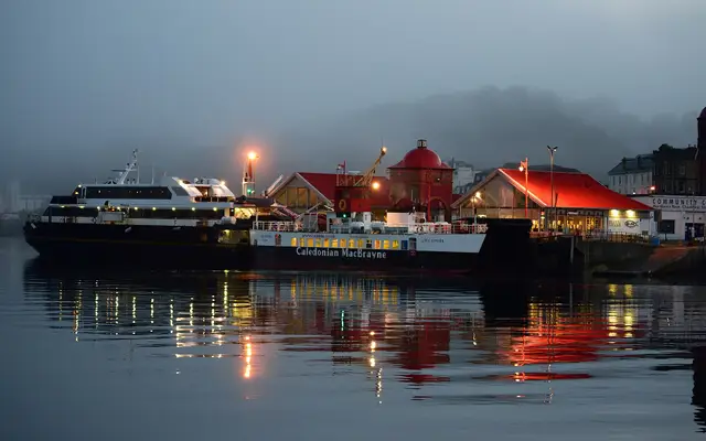
Oban's station address is Railway Pier, and National Rail lists the port among its transport links, so the walk from train to quay does not need much of a map. The West Highland Line from Glasgow Queen Street divides at Crianlarich, with one branch heading here. The bay forms a near-perfect horseshoe, protected by Kerrera and beyond it Mull. It is the hub for Caledonian MacBrayne ferries to many of the Hebrides, and a good choice if you want to carry on by sea.

Mallaig Highland
The other arm of the West Highland Line continues past Fort William, where trains reverse, and ends at Mallaig, opposite Skye across the Sound of Sleat. It is very much a working place: the town was founded in the 1840s as a fishing settlement, and has been described as the main commercial fishing port on the west coast of Scotland. Ferries go to Armadale on Skye, to Inverie in Knoydart, to Lochboisdale on South Uist, and to Rùm, Eigg, Muck and Canna. Book these well ahead in summer if you are taking anything larger than a rucksack, and read the operator's terms.
Before you set off
A few of these branch lines are short, single-track routes with few trains, so a missed connection can cost more than it would on a main line. Leave yourself a margin when catching a ferry. On a harbour break, the timetable you may forget is the other one: a quick look at how to read a tide table tells you whether boats will be afloat when you arrive, and whether the beach you have in mind will be there at all.
If you are thinking of a longer stay, or even a move, the same towns raise other questions. Our guide to checking coastal erosion before you buy covers the official maps for England.
Sources opened for this entry
- National Rail station pages, linked in the table above
- Esk Valley Railway Development Company
- St Ives Bay Line (Wikipedia, for line length and history)
- West Highland Line (Wikipedia, for route and junctions)
Links last checked 8 November 2026. Rules, figures and timetables change, so follow the source for the current position.