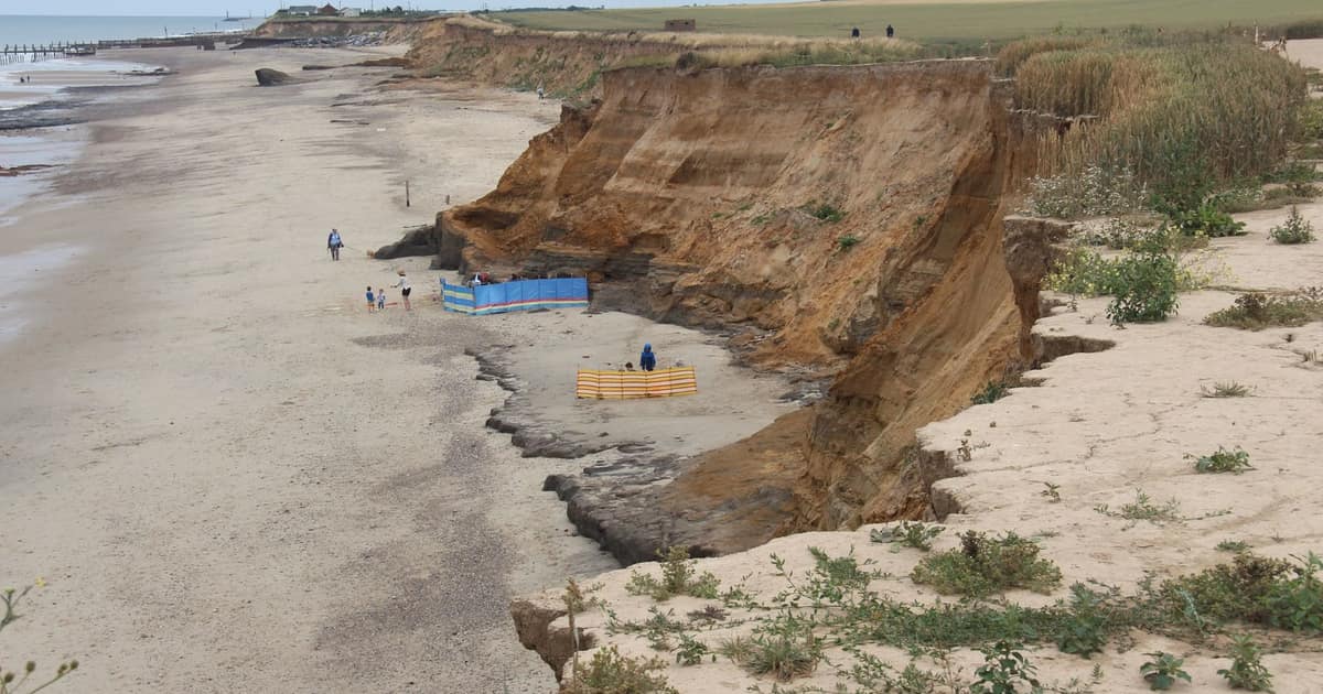

In England, start with the government's free Check coastal erosion risk service. It maps the area estimated to be at risk up to 2055 and up to 2105. Then read the Shoreline Management Plan policy for that frontage, check flood risk separately, and put specific questions to your surveyor, solicitor and insurer before you exchange contracts.
Wales, Scotland and Northern Ireland have their own arrangements, linked from that same GOV.UK page. This guide covers England, and it is general information rather than personal advice on whether to buy any particular house.
Step one: look at both versions of the map
The map shows risk in two ways, and the difference between them is the most important thing on the page. One assumes the current plans for managing the coast are followed. The other assumes there is no future work to maintain or build defences.
If a house looks safe in the first and at risk in the second, its future relies on money and decisions yet to come. The national assessment shows how big that gap can be across England:
| Scenario | Now to 2055 | Now to 2105 |
|---|---|---|
| Shoreline plans delivered | 3,500 | 10,100 |
| Shoreline plans not delivered | 32,800 | 65,100 |
The Environment Agency's figures with climate change included are higher again, at 19,700 properties by 2105 with plans delivered and 102,100 without. About half of the properties in the first row are homes, and half are places such as schools, hospitals and businesses. These are national totals and say nothing about one address, but they do show that "the plan" is doing a great deal of work.
Step two: read the policy for that frontage
England has 20 Shoreline Management Plans, which set out a planned approach to managing flood and coastal erosion risk to 2105. You can look at yours on the Shoreline Management Plan Explorer. Each stretch of coast will have one of four approaches:
| Policy | What it means | What to ask |
|---|---|---|
| Hold the line | Defences are maintained or upgraded to keep the shoreline broadly where it is | Is the work funded, and for how long? |
| Advance the line | New defences extend the land out to sea | Is there an actual scheme, with dates? |
| Managed realignment | The shoreline moves in a controlled way | Where does the new line fall? |
| No active intervention | A more natural coastline is maintained or supported | What happens to the property at the end of the road? |
Policies are set stretch by stretch, so read yours and its neighbours, and look at the later periods too, as a 30-year mortgage and a house you hope to pass on are looking at different horizons. Plans are also described by the Environment Agency as living documents, so note the date you checked.
Step three: ask the council about planning
Local authorities can define a Coastal Change Management Area, which national planning guidance describes as an area identified in plans as likely to be affected by physical changes to the coast, such as erosion, landslip or permanent inundation. Shoreline plans feed into those designations. If the house is in or near one, it could affect what you can build or extend, so talk to the council's planning team and ask to see the relevant local plan policy.
Councils on eroding coasts often know their frontage in far more detail than a national map. In North Norfolk, for example, the district council says the updated maps indicate many properties could be affected, and it is running a project called Coastwise on how communities can adapt. A short phone call can tell you what the map cannot.
Step four: check flooding as a separate question
Erosion and flooding are different hazards. A house on a cliff may have no flood risk at all but a limited future, while a house behind a sea wall may have no erosion issue and a serious flood one. The long term flood risk service covers rivers and the sea, surface water, reservoirs and, where data is available, groundwater. GOV.UK is clear that it does not tell you how likely an individual property is to flood, so treat it as a description of the area.
Step five: put questions in writing
A map check does not replace professional advice. We would take these to the people you are paying anyway:
- Your surveyor. Have you surveyed on this coast before? Is there visible movement in the ground, walls or drains? Should a specialist look at the cliff or the defences?
- Your solicitor or conveyancer. What do the searches say about coastal erosion and any Coastal Change Management Area? Who owns and maintains any private defences? Are there any liabilities attached to them?
- Your insurer. Is erosion or landslip covered on this property, or excluded? Get the answer in writing with the actual wording, before you commit. Do not assume that flood cover deals with it.
- Your lender or mortgage adviser. Will they lend on this address, for this term, and what would they need to see?
- The seller. Have there been any cliff falls, repairs or claims? How much land has gone during their time there?
A note on the view
None of this is an argument against living by the sea. Many of the places we write about, including the harbour towns on our rail list, have been lived in for centuries and are likely to go on being lived in. But a coastal purchase is a bet on a moving line, so it pays to know exactly where the official line is drawn. Our guide to who owns the beach is worth reading too, since it covers who controls the foreshore and where the public can walk in front of a house. A clean, shingle-backed frontage can also be part of the defence, which is one reason for the rules in our note on taking material off beaches.
Sources opened for this entry
- GOV.UK: check coastal erosion risk for an area in England
- Environment Agency: national assessment of flood and coastal erosion risk in England 2024
- Environment Agency: Shoreline Management Plans
- GOV.UK: check long term flood risk
- GOV.UK planning guidance: flood risk and coastal change
- North Norfolk District Council: updated erosion map
Links last checked 8 November 2026. Rules, figures and timetables change, so follow the source for the current position.