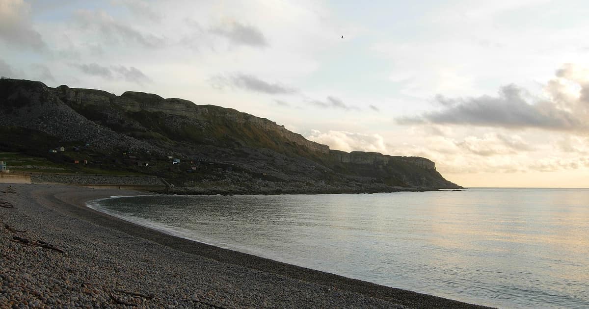

Nobody owns all of it. The Crown Estate says it manages around half of the foreshore around England, Wales and Northern Ireland, and the rest belongs to a mix of councils, the Ministry of Defence, private owners and charities such as the National Trust. Whether you can walk on a particular beach depends on the land, any local rules, and increasingly on the new coast path.
Three strips, three questions
It helps to picture a beach as bands running along the coast, because the answer changes as you walk towards the water.
The band that matters most is the foreshore, which the Crown Estate defines as the land between mean high water and mean low water. In other words, it is the part the sea covers and uncovers in an average tide, and the part our tide table guide helps you time. Above it, ownership follows the ordinary land system. Below it lies the seabed, which the Crown Estate also leases for things such as cables and pipelines.
This means that a single stretch of sand may have different owners at different heights, and that the dry sand where you put your towel may not belong to the same person as the wet sand where you paddle.
What the Crown Estate holds, and why
The Crown Estate's figure is "around half". BBC Countryfile Magazine puts it at about 45 per cent of the total length of foreshore, and the gap is unsurprising when the coast itself is so hard to measure. The same article says the UK coastline runs to anything from 8,000 to 19,500 miles, depending on how detailed the map is.
Countryfile traces the history back to 1066, when William of Normandy claimed all of England, including the coast and seabed. Today the Crown Estate acts semi-independently, with revenue going to the Treasury and a share to the monarch. In practice it behaves like a large commercial landlord, leasing foreshore and seabed for ports, marinas, moorings, cables and aquaculture. Note that its figure covers England, Wales and Northern Ireland only. Scotland has separate arrangements, so do not assume the same picture there.
The rest of the shore is a patchwork. Countryfile lists local authorities, the Ministry of Defence, individuals and charities, with the National Trust alone managing 900 miles. That is why two neighbouring beaches can feel so different, with one run by a council with lifeguards and bins, and the next quietly attached to an estate.
Can you walk there?
Often yes, though the reasons vary. Countryfile says Crown Estate coastal property is in general open freely to the public, so you can walk and swim there. That general openness is not the same as a right that applies everywhere, and it does not settle what you may do on the rest of the shore. Private ownership does not always mean a closed beach, and an open-looking beach may still have rules, seasonal restrictions or a fence.
The biggest change is on land. The King Charles III England Coast Path is a National Trail planned to run for about 2,700 miles around all of England. Natural England's progress table, updated on 4 November 2026, shows these mileages:
| Status | Miles |
|---|---|
| Complete and open for public use | 2,219 |
| Approved, work under way or awaited | 403 |
| Awaiting government decision | 68 |
| Total submitted to government | 2,690 |
The trail was formally inaugurated at Seven Sisters in East Sussex in March, and National Trails notes that work continues on the sections yet to open, so check the maps before planning a long walk. It also says that in many areas you can explore the beaches and coastal margin alongside the path.
What "coastal margin" means
The margin is the extra land that comes with the trail. Natural England's stretch reports use the term spreading room for margin land, other than the trail itself, with public rights of access. It can be on either side of the path, and it can include foreshore. There are exceptions, including land covered by buildings and their curtilage, and land used as a garden. Rights over spreading room can also be restricted or excluded locally, for wildlife or safety for instance, and some reports exclude saltmarsh and mudflat as unsuitable for access. So the existence of a coast path nearby does not mean every square metre towards the water is open to you.
Who to ask, if you want to do more than walk
| You want to | Start with |
|---|---|
| Fly a drone or use a metal detector on Crown Estate foreshore | The Crown Estate. Countryfile says prior consent is needed |
| Run a group beach clean | The landowner. Permission may be needed because of the safety issues near tidal water |
| Run a commercial activity, or put in a mooring | The landowner, plus the harbour authority where there is one |
| Take sand, shingle or stones | See our note on what you can take from the beach |
| Find out who owns a stretch | The Crown Estate's coastal pages include a guide to the foreshore it owns; otherwise the council or HM Land Registry |
When it matters to you personally
Mostly this is a matter of curiosity, and a good pub argument. It gets more serious if you are buying a house with a sea view, as boundaries, access and responsibility for defences all come into play. Our guide to checking erosion before you buy covers that side. If you are in a real dispute about access or a boundary, a solicitor who deals with land law is the right person to ask, and nothing here should be read as legal advice.
And one small warning from the safety people: wherever your rights begin and end, the sea takes no interest in them. Check the times before walking any stretch of open shore, keep away from the base of cliffs, and call 999 for the Coastguard if you get stuck.
Sources opened for this entry
- The Crown Estate: coastal
- BBC Countryfile Magazine: who owns Britain's beaches?
- Natural England: King Charles III England Coast Path collection
- National Trails: King Charles III England Coast Path
- Natural England: Shoreham-by-Sea to Eastbourne report, overview
Links last checked 8 November 2026. Rules, figures and timetables change, so follow the source for the current position.